

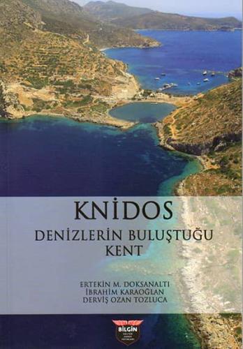
Located at the farthest southwestern tip of Türkiye, the ancient city of Knidos lies within the present-day borders of the Datça district of Muğla Province. Datça, with a surface area of 476 km², is a peninsula extending 64 km westward from the mainland and varying in width from 1 km to 17 km. At its farthest point, at the Tekir Burnu (Tiger Point), where Knidos is located, lies the point where the Aegean and Mediterranean Seas meet. The peninsula's neighbors include the Bodrum Peninsula to the north, and the island of Kos to the northwest. To the west lie the islands of Nisyros and Gyali, while to the southwest lies Telos Island and to the south lies Syme Island.
Türkiye'nin güneybatıdaki en uç noktasında yer alan Knidos Antik Kenti günümüzde Muğla iline bağlı Datça ilçesi sınırları içindedir. Datça 476 km2'lik yüzölçümüyle, anakaradan batıya doğru 64 km uzunlukta ve 1 km ile 17 km değişen genişlikte bir yarımadadır. Çevresinde 52 koy barındıran yarımadanın en uç noktasında, Knidos'un yer aldığı Tekir Burnu olarak adlandırılan mevkii bulunur. Ayrıca yarımadanın en uç noktasındaki bu mevkii Ege ve Akdeniz'in birbirinden ayrıldığı diğer bir ifadeyle birleştiği noktadır. Yarımadanın komşularına bakıldığında kuzeyinde Bodrum Yarımadası, kuzey batısında ise Kos Adası yer alır. Batısında Nisyros ve Gyali adaları yer alırken güney batısında Telos Adası ve güneyinde de Syme Adası yer alır.
Weight: 0,250 gr